
Why Traditional Forestry Surveys Are Holding You Back
Forestry surveys are the foundation of forest management, carbon estimation, and sustainability planning. Yet many field teams still rely on manual, contact-based measurements that are slow to execute and difficult to scale across large or dense forest areas.
Slow, labour-intensive fieldwork
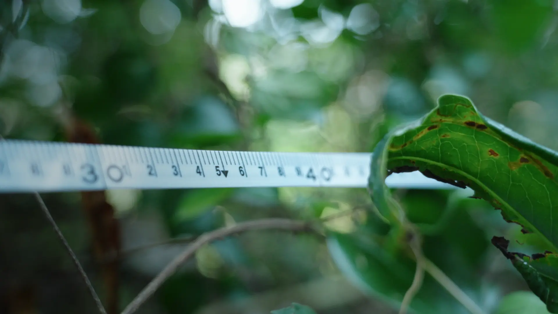
Manual measurement requires surveyors to approach each tree individually, working in teams for extended periods. In dense or large forest areas, this process quickly becomes exhausting, time-consuming, and difficult to scale.
Limited accuracy in complex environments
Uneven terrain, dense vegetation, and human error introduce inconsistencies. Small deviations in DBH or height can significantly affect timber volume and carbon storage calculations.
High effort, limited usable data
Despite heavy field effort, traditional surveys often produce only basic results. Extracting deeper insights or building digital forest models requires additional tools and repeated work.
Why The FJD Trion Forestry Survey Solution
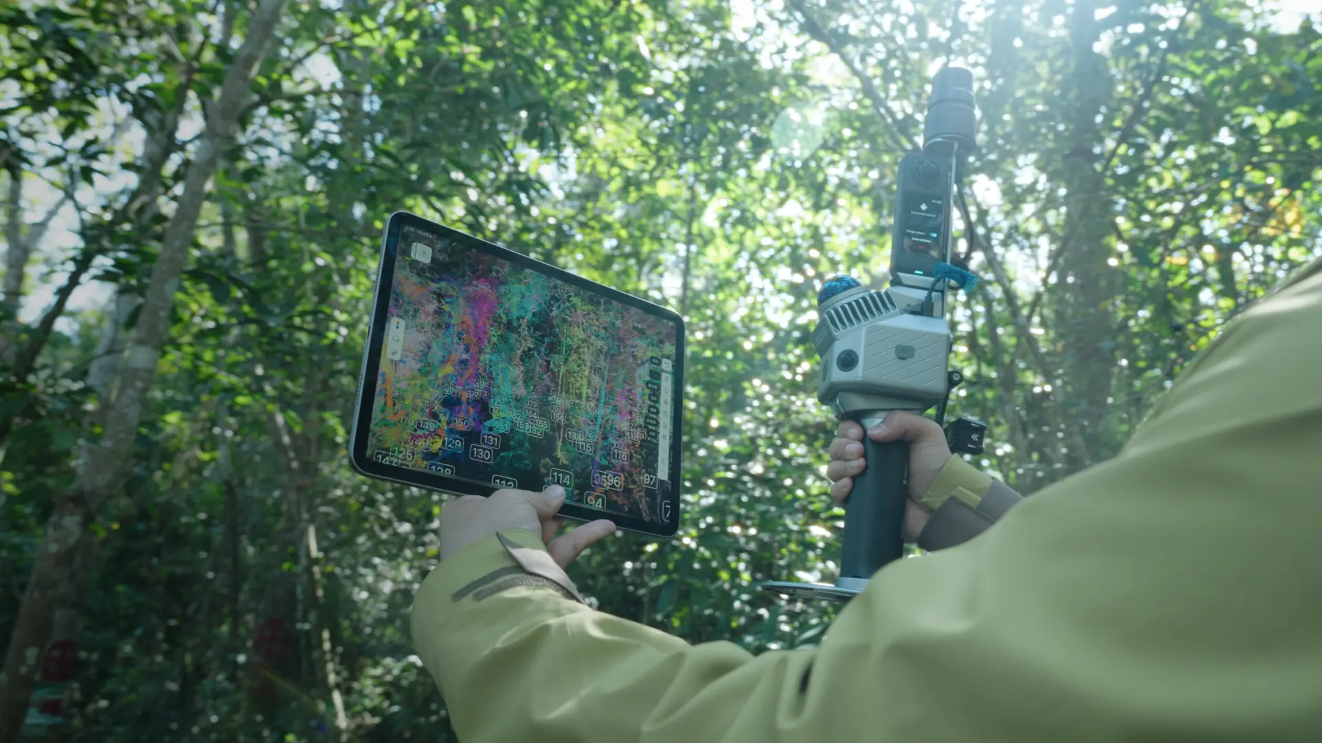
The FJD Trion Forestry Survey Solution is built around 3D LiDAR scanning and intelligent processing, enabling fast, non-contact acquisition of forest structure data and automated extraction of key tree parameters.
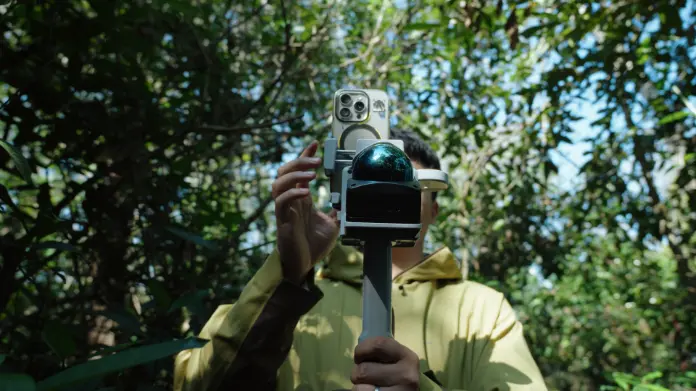
The solution is powered by the Trion P2, Trion S2, and Trion V4e LiDAR scanners, which support different deployment modes for different forest conditions — from handheld walking surveys in dense plots to flexible multi-platform scanning in larger areas. This allows forestry teams to choose the right device setup and complete high-quality surveys with minimal crew size and higher operational efficiency.
Fast, non-contact data capture
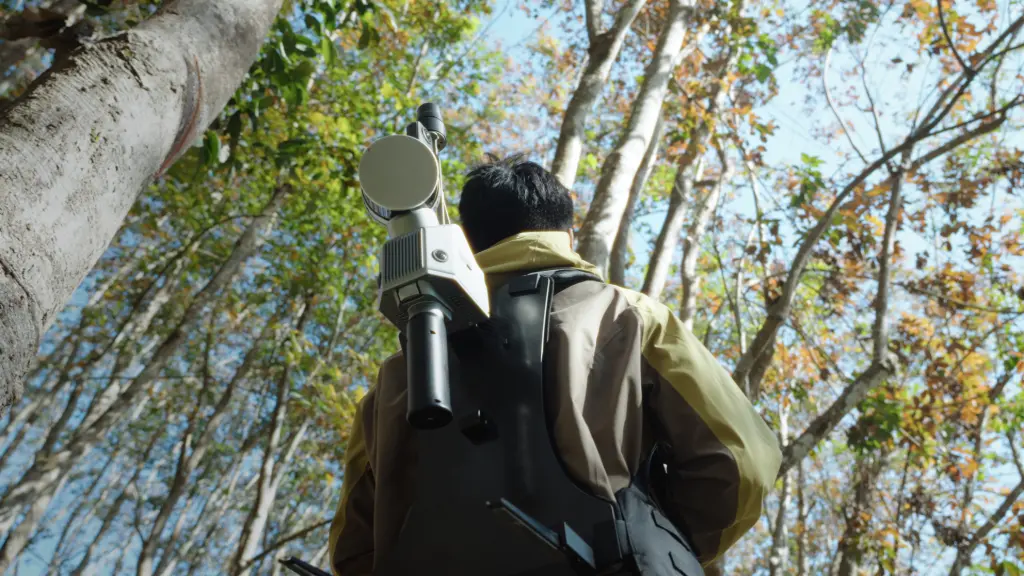
3D LiDAR scanning captures tree trunks, canopies, and terrain without touching vegetation — improving efficiency while protecting forest ecosystems.
One-person operation, up to 90% time savings
Lightweight scanners enable a single operator to complete surveys that once required multiple people and days of work, reducing field time from 8 hours to about 1 hour and increasing survey efficiency by up to 90%.
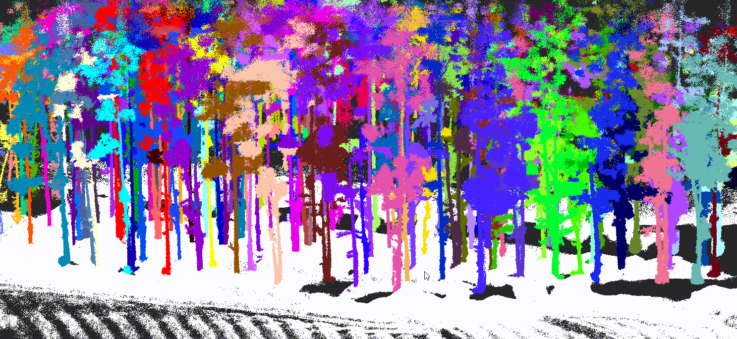
Automatic tree-level p arameter extraction with 97% accuracy
Collected point cloud data is automatically processed to segment individual trees and calculate key parameters such as height, DBH, crown width, and position. The automated measurement workflow achieves 97% accuracy, with 0.9 cm average DBH error and 0.7 cm mean error — turning raw scans into structured forestry datasets.
How It Works
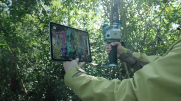
Scan the forest
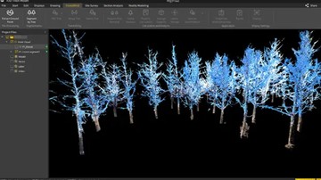
Process and analyze
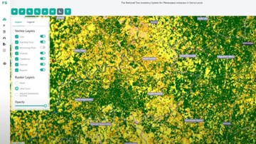
Report and integrate
Proven in Real Forestry Projects
The FJD forestry survey solution has been validated across academic research, commercial forests, and government projects — delivering centimeter-level accuracy and significant efficiency gains in real-world environments.
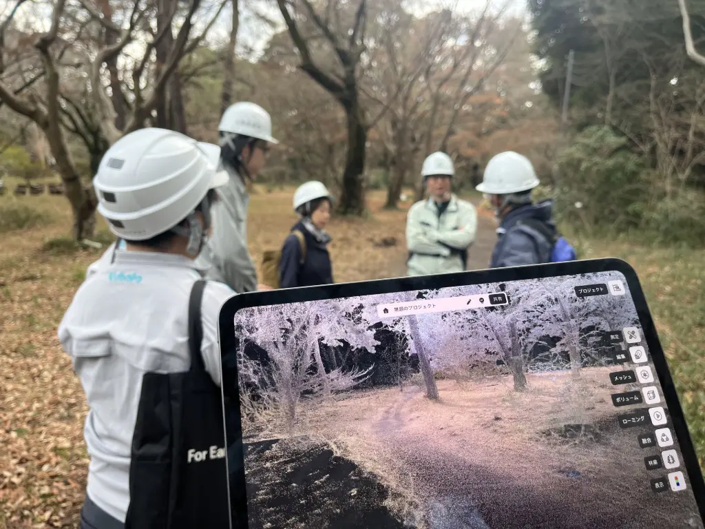
Forestry Research with the University of Tokyo
In collaboration with the University of Tokyo’s forestry research team, FJD Trion LiDAR scanning technology was applied to advanced forest structure analysis and data modeling workflows. By combining high-quality 3D point cloud capture with automated tree parameter extraction, researchers significantly improved data completeness and measurement efficiency in complex forest plots. The project demonstrates the solution’s value in academic and scientific forestry research environments.
Romania Forest Core Research Program
FJD Trion solutions have been adopted in Romania’s forest core research initiatives through cooperation with government-related forestry agencies. The deployment supports standardized forest data collection and digital analysis workflows across multiple survey projects. The successful rollout of multiple software licenses confirms the solution’s reliability and suitability for large-scale, institutional forestry programs.
Proven in Real Forestry Projects
The FJD forestry survey solution has been validated across academic research, commercial forests, and government projects — delivering centimeter-level accuracy and significant efficiency gains in real-world environments.
Forestry Research with the University of Tokyo
In collaboration with the University of Tokyo’s forestry research team, FJD Trion LiDAR scanning technology was applied to advanced forest structure analysis and data modeling workflows. By combining high-quality 3D point cloud capture with automated tree parameter extraction, researchers significantly improved data completeness and measurement efficiency in complex forest plots. The project demonstrates the solution’s value in academic and scientific forestry research environments.
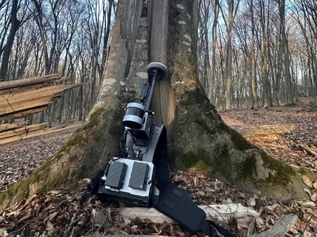
Romania Forest Core Research Program
FJD Trion solutions have been adopted in Romania’s forest core research initiatives through cooperation with government-related forestry agencies. The deployment supports standardized forest data collection and digital analysis workflows across multiple survey projects. The successful rollout of multiple software licenses confirms the solution’s reliability and suitability for large-scale, institutional forestry programs.